You are here
From Chalcolithic settlements to Byzantine complexes: Discovering Tell Umayri’s rich history
By Saeb Rawashdeh - Jun 02,2024 - Last updated at Jun 02,2024

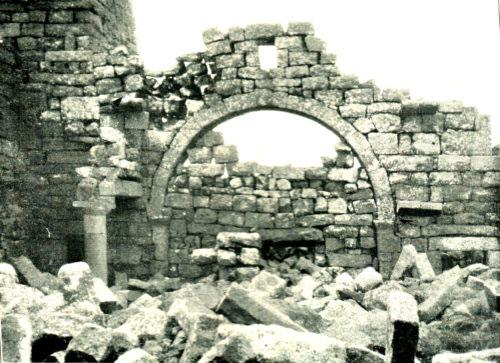
Remains of the Byzantine church at Tell Umayri (Photo courtesy of ACOR)
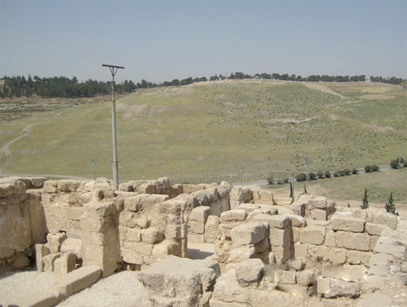
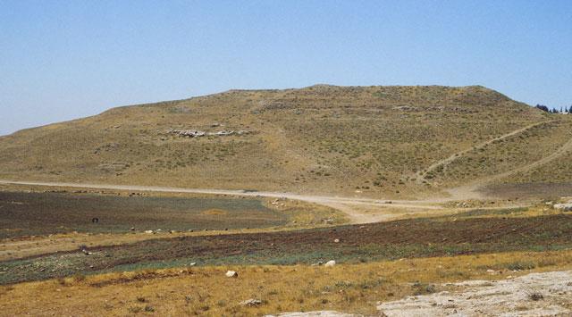
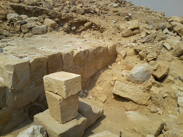
AMMAN — Tell Umayri is an archaeological site located approximately 12 kilometres south of Amman. It has drawn the attention of the American and Canadian universities, which have been sending their archaeological teams there for decades.
The western slope of Tell Umayri was occupied from the Chalcolithic Period (around 4,000BC) to the early Persian period (around 500BC).
“Surface surveys suggest that Tell Umayri ca. 300m to the east, was founded in the Hellenistic period [around 200BC] and lasted until Umayyad times [750AD],” noted the scholar Larry Herr from Burman University, adding that the northern part was settled during the Ayyubid/Mamluk periods (12th -15th centuries) and was reused as a seasonal cave village by nomadic Beduin in the 19th and early 20th centuries.
Historically, the Madaba Plain was a breadbasket of Jordan and since the ancient times, grains were cultivated there.
During abatement, permanent settlements were rare, while a large part of the population practiced nomadism with an economy centred on pastoralism (sheep and goats) and low intensity grain production at seasonal sites, Herr continued, adding that intensification occurred during the Early Bronze Age II-III (around 2,800- 2,400BC), Iron Age (1,200-500BC), Roman to Byzantine periods (106AD- 650AD), Ayyubid-Mamluk periods and the modem period (1918- present).
The Madaba Plains Project consists of a regional survey within a 5 kilometres radius of Umayri, excavation of selected hinterland sites, and excavations at the central site, ‘Umayri West.
Furthermore, “the regional survey is divided into five teams, each with its objectives and procedures: Random survey of 5 per cent of the project area using 200 x 200m squares; environmental survey examining the methods by which ancient farmers adapted their crops to the region; farmstead documentation which maps and studies scores of rural agricultural complexes, from winepresses and watchtowers to large estates; ethnoarchaeological study of the patterns in which the modern Ajarmeh tribe and others have used the land from the nineteenth century until the present, both as nomads and settlers; and experimental subsurface mapping using ground-penetrating radar,” Herr outlined.
Five sites were of interested for scholars: A large agricultural complex at Rujm Selim, ca. 2 kilometres north of Umayri; a combination of military fortress/agricultural complex at Dreijat located on a high hill 2 kilometres south of Umayri; Tell Jawa; the other two sites were a small cave and a lime kiln.
During Roman to Byzantine Periods (50BC-650AD) continuous, gradual intensification characterised these periods until, in the Byzantine period, central Jordan experienced its heaviest occupation until modern times, Herr emphasised, adding that this process was shown very clearly at Hesban.
Khirbet Abujaber, around 2 kilometres south of Umayri may have been the major town of the region and it is located on the Airport Road.
“A major new well house with a vaulted roof was constructed at the water source during Byzantine times and still constitutes the foundation for the modem structure. On the eastern lip of the acropolis at Umayri West a portion of a small Byzantine farm may have specialised in wine production,” Herr highlighted, adding that scores of ceramic vats were associated with the building.
There is nothing strange in finding various Byzantine rural complexes in Jordan, particularly on hilltops.
“It was a time of very intense agricultural activity, with dams and embankments retaining run-off and enlarging fields. Grain was probably planted in the valley bottoms, while scores of winepresses suggest that fruits [mainly grapes] were grown on the hillsides. Hundreds of tombs were grouped in cemeteries on the hillsides, and most have been recently robbed,” Herr underlined.
The survey has found that most of the Byzantine hill sites were reoccupied. Much more work needs to be done regarding the Byzantine/Umayyad transition, the scholar underscored.
Related Articles
AMMAN — A group of researchers who explored the site of Tell Al Umayri, 12 kilometres south of Amman, has found a small table or “platform”
AMMAN — The site of Bir Madhkur is located in the Petra hinterland some 12 km northwest of Petra, near Wadi Araba.
AMMAN — The village of Umm Al Surab is considered a good case study for ancient architecture, said an Italian scholar on Tuesday during a le


